Gisdeal Mobility Pro®
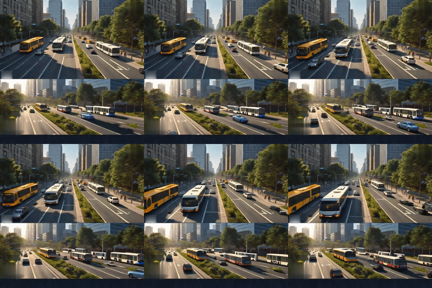
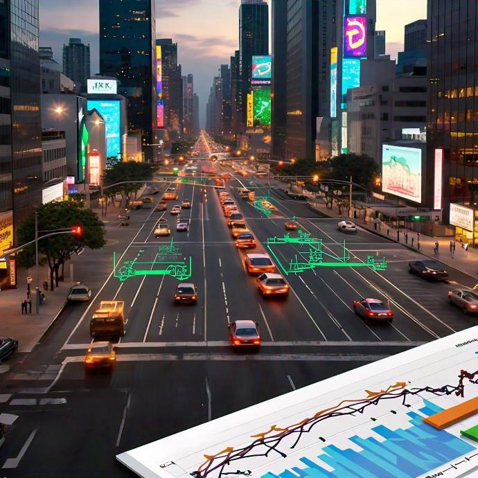
A solution that integrates multimodal urban traffic simulation capabilities (vehicles, public transport, cyclists, pedestrians) directly into ArcGIS Pro. It allows users to select areas of interest, define real-time simulation parameters that allow full control in 2D and 3D and detailed analysis of different urban mobility scenarios, identify congestion points and plan improvements in the flow of road infrastructure.
The system allows: Traffic modeling , impact analysis of new infrastructure and development construction, simulation of different scenarios and road configurations, full integration with ArcGIS Pro® and allows ingestion into real-time data analysis pipelines. Created simulations can be published to the Gisdeal Mobility Portal® allowing sharing and collaboration with web users.
Native integration with ArcGIS Pro provides ease of use in a familiar environment, a complete analysis and geoprocessing framework based on established traffic simulation libraries, advanced algorithms and an internationally recognized open source community.
Coming soon...


Gisdeal Mobility Portal®
A scalable web platform that allows users to securely access a portal to manage and visualize urban traffic simulations and analyze the resulting data. Aimed at users who prefer a web-based solution.
Features: Simulation of multimodal traffic scenarios executed on cloud servers, import of parameterized simulations from Gisdeal Mobility Pro®, generation of detailed reports , visualization of the simulation in 2D and 3D, comparison of different scenarios, use from any device via internet browser, dedicated servers in the Software as a Service (SaaS) model.
Built-In Accessibility, no need to install software, flexibility for different types of users, user-friendly interface.
Coming Soon...


High performance
Simulations without limits on network size, number of vehicles and long simulation times supported.
Interactivity
Control the behavior of all objects in the simulation in real time, allowing adjustments in behavior with a virtual Traffic Control Interface.
Multi-Modal Traffic
Combine different modes of transportation in the simulation: cars, buses, trains, bicycles, pedestrians, public transport, and more.
Interoperability
Import road networks from common formats such as OpenStreetMap, VISUM, VISSIM, NavTeq, MATsim, and OpenDRIVE.